Coming2Israel.com


© 2013-2016 Coming2Israel.com - The Online Source for the English Speaker Coming to Israel - E.& O.E.

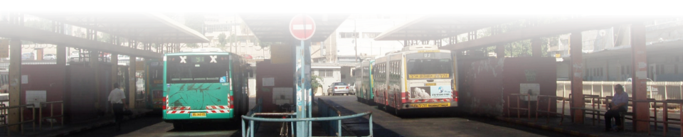
Coming2Israel.com - Public Transportation In Israel - Central Bus
Stations
Buses in Israel - The Main Bus Stations:
Now we'll give you a list of the main bus station in each city, with the Google map locations to help you figure out where you are and where you may need to go to. The list is by city, starting from the top of the country down to the south end of the country.The Bus Stations:
Tiberius:
Tiberius Central Bus Station - 2 HaYarden Street: Google Map Link-Tiberias Bus StationSafed:
Central Bus Station, Safed. Google Map Link Safed Bus StationHaifa:
Haifa Central Bus Stations (there are 2 Carmel beach for buses coming from the south and Haifa Bay Central Bus Station (Merkazit HaMifratz in Hebrew) for buses coming from further north and the east (The Galilee, Safed etc/). Wikipedia Carmel Beach Station Wikipedia Haifa Bay Bus Station Haifa Bus Stations-Google Maps: Note about the Haifa Bus Stations Google Map - Ignore map point 'A' - Bat Galim bus station on the map as it is the site of the old central bus station for Haifa and mostly not used any more. Also note the relative closeness of the bus and train stations. Finally some urban planning that makes some sense. Google Map Link Haifa, Carmel Beach and Haifa Bay Bus StationsTel Aviv:
We will show you four stations (including the Airport City Station which technically is not really in Tel Aviv). 1) The New Central Bus Station (or the White Elephant Eyesore station): Google Map Link Tel Aviv New Central Bus Station 2) Tel Aviv 2000 (Arlozorov) (More like a Terminal, but will expand and grow soon as will be a stop on Tel Aviv's LRV system and is currently connected to the Savidor train station: Google Map Link Tel Aviv 2000 (Arlozorov) Bus Station 3) Tel Aviv Reading Terminal: Google Map Link Tel Aviv Reading Terminal Bus Station 4) Airport City Terminal or El Al Junction Station: Airport City is located just to the east of the airport grounds. It is on the other side (east) of route 40 / 46. Vehicles enter through road 453. As there are no bus lines directly going into the Ben Gurion Airport, you would need to take a bus to the Airport City Terminal and then transfer to the Airport Terminal Bus. We have not been able to find the exact location of the terminal, but on the map you will see a point for Egged Offices Building. For now, we'll assume the station is nearby. More Bus info below in the Egged Section. Google Map Link Tel Aviv Airport City / El Al Junction Station Bus StationJerusalem:
Jerusalem Central Bus Station: Note: The station is located around a 3 km walk to the old city… scroll the map down to see the Malha train station which is about double the distance to the old city. This is one of the reasons why taking the bus to Jeusalem from Tel Aviv is actually a better option than taking the train. Google Map Link Jerusalem Central Bus StationBe'er Sheva:
Be'er Sheva Central Bus Station (also next to the train station): Google Map Link Be’er Sheva Central Bus StationEilat:
Eilat Central Bus Station Note that the station is within walking distance from the airport and to the Beach strip. Google Map Link Eilat Central Bus Station


Have we Missed Something???
Or, do you have any questions? Comments? Suggestions? Please contact us from the menu button at the top of the page. And, if we have been helpful, please give us a Like on Facebook. Thank you!